GreenValley LiAir X3C-H Compact UAV LiDAR System
GreenValley LiAir X3C-H: Integrated Aerial and Handheld LiDAR Solution
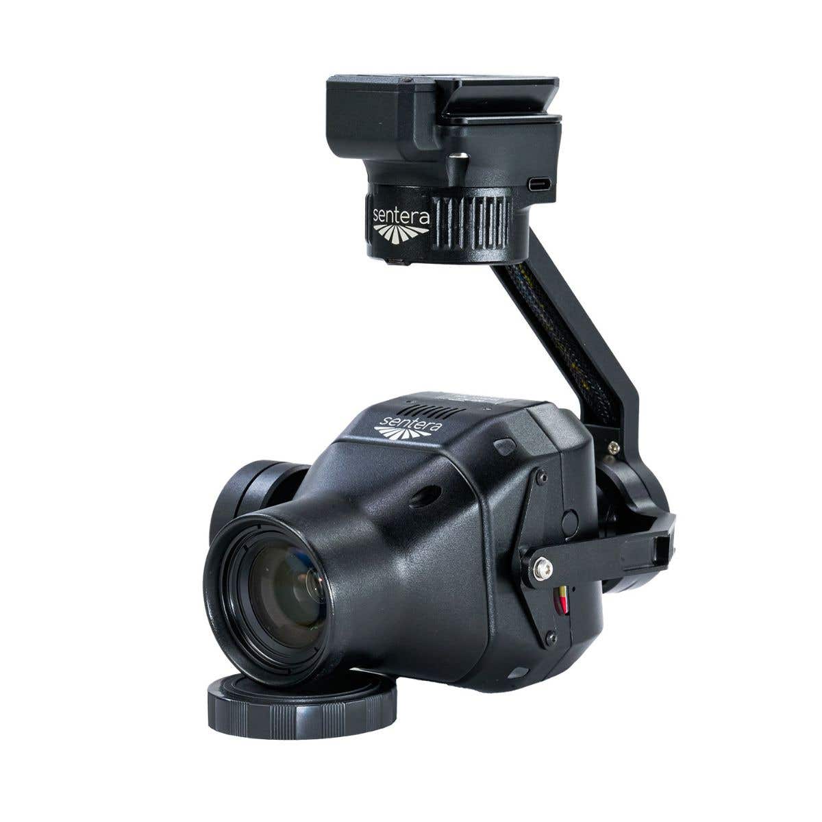
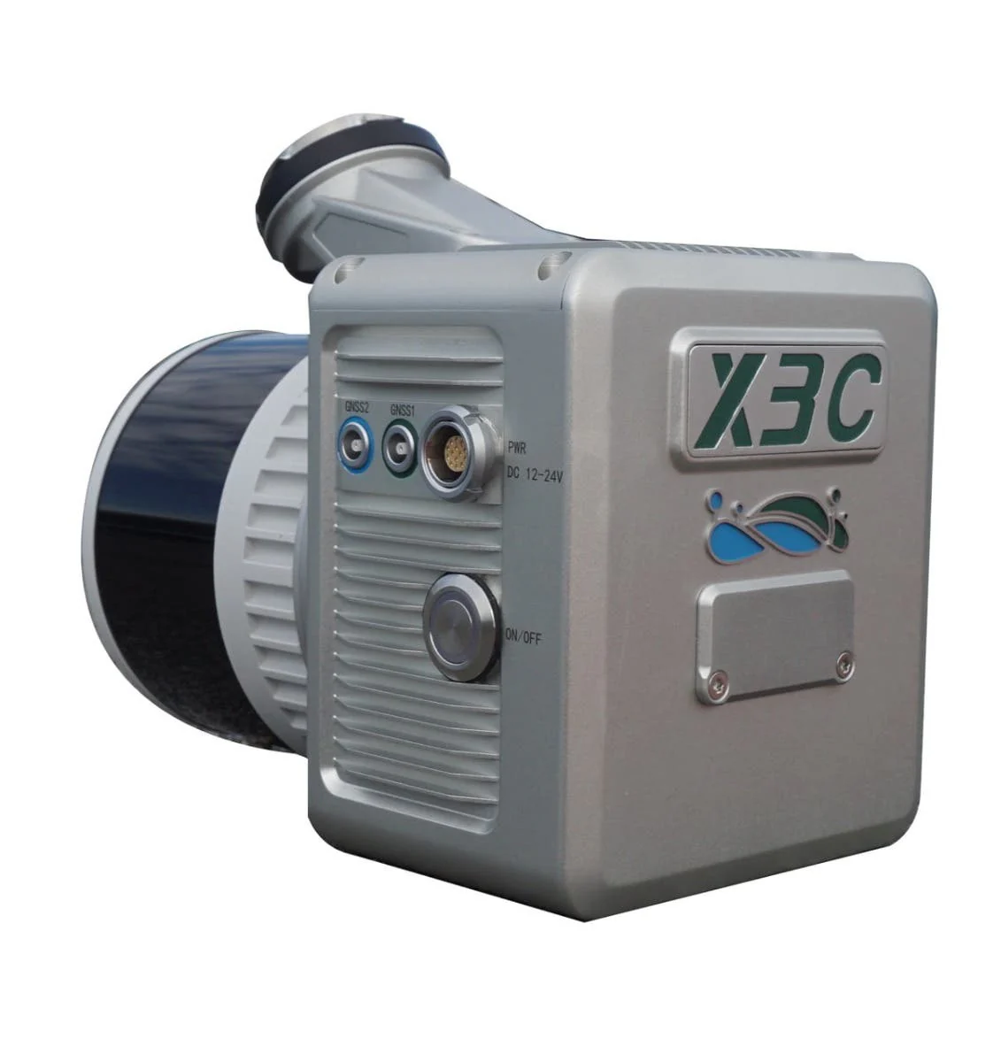
The GreenValley LiAir X3C-H is a compact, high-performance UAV LiDAR system designed to provide professional-grade 3D mapping capabilities in a lightweight package. Weighing only 1.12 kg (2.47 lbs), this system integrates a 32-channel HESAI LiDAR sensor, a 26 MP high-resolution mapping camera, and a self-developed inertial navigation system (INS) into a single, sleek housing. It is specifically engineered for high-accuracy applications such as power-line inspection, topographic surveying, and forestry management, where precision and efficiency are paramount.
By combining aerial data collection with SLAM-enabled handheld capabilities, the X3C-H offers a versatile solution for capturing centimeter-level point clouds in both GNSS-rich and GNSS-denied environments.
LiAir X3C-H core features and advantages
- Integrated design: Combines LiDAR, 26 MP camera, and INS in one unit.
- 32-channel sensor: High-density data capture with HESAI rotating scan technology.
- Centimeter accuracy: Delivers 5 cm vertical accuracy at 70 m flight altitude.
- SLAM integration: Enables mapping in signal-blocked indoor and outdoor spaces.
- Triple return: Captures up to 1,920,000 points per second for dense foliage penetration.
- Mapping camera: Built-in 26 MP sensor for high-quality true-color point clouds.
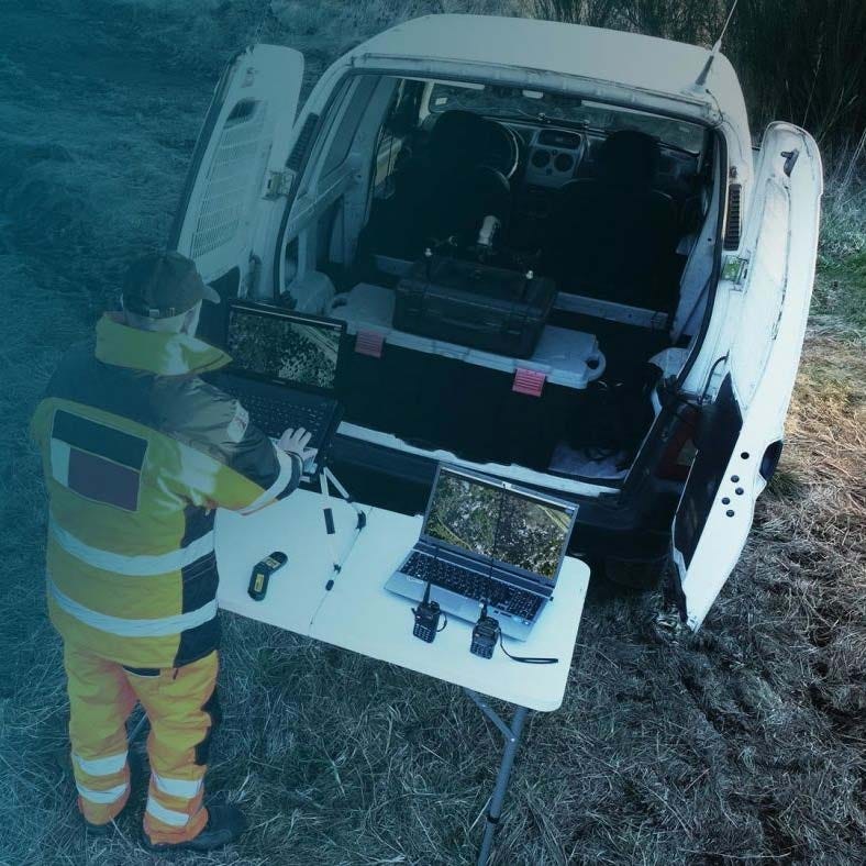
- Handheld versatility: Quick-release design transforms aerial unit into a handheld scanner.
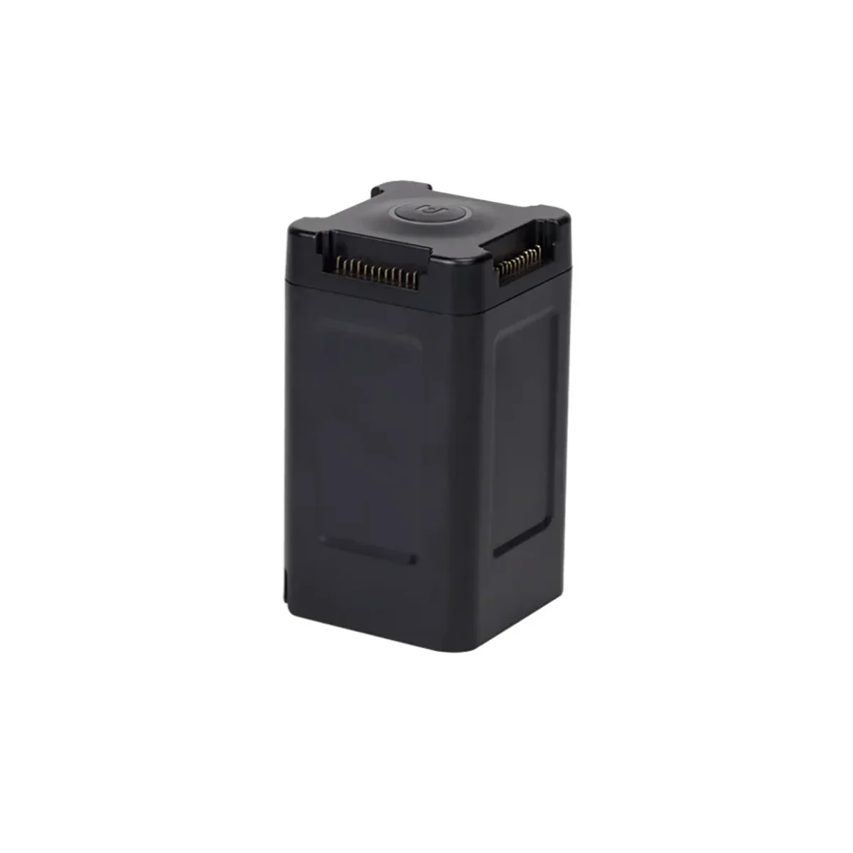
- Long endurance: Handheld battery kit provides up to 3 hours of operation.
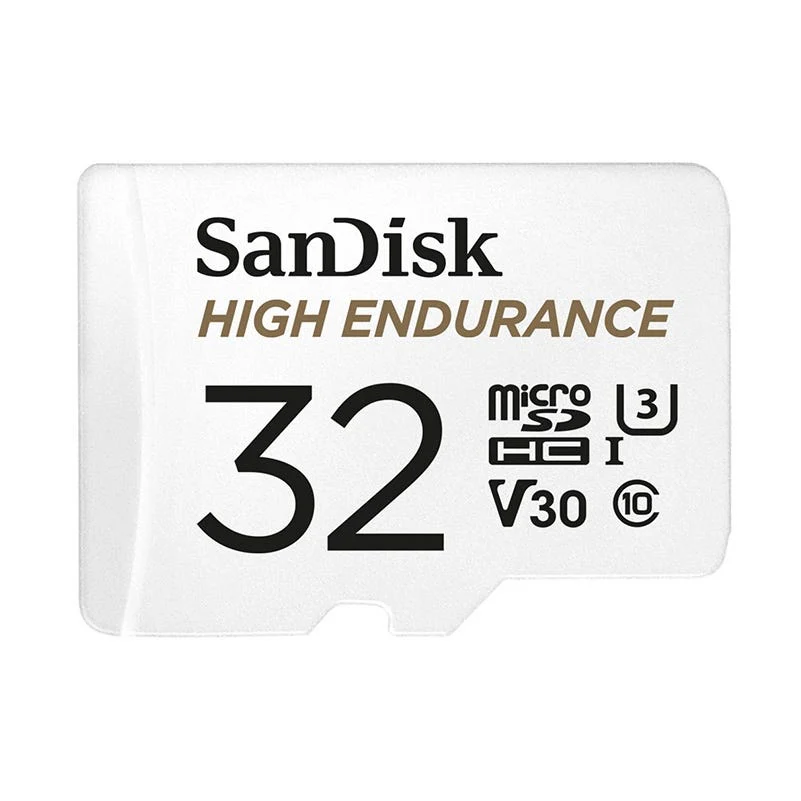
- Efficient storage: One-touch data copying from 256 GB TF card for fast workflows.
Precision performance for demanding enterprise surveying missions
The LiAir X3C-H represents a leap in operational efficiency, capable of surveying up to 100,000 m² per hour with a point density exceeding 10,000 pts/m². Its multi-return capability allows field operators to bypass dense vegetation to reach the ground surface, ensuring reliable topographic models.
The system’s high-precision fusion algorithms merge POS data with laser measurements to achieve centimeter-level results, providing the absolute coordinate accuracy required for professional civil engineering and asset integrity projects. This integration ensures that every flight delivers actionable, high-fidelity 3D intelligence for critical infrastructure.
Platform and software integration
- DJI Matrice 300/350 RTK: Optimized for seamless mounting and Skyport communication.
- Freefly systems: Compatible with Alta platforms for specialized flight requirements.
- LiGeoreference: Proprietary software for automated point cloud georeferencing and colorization.
- LIDAR360: Advanced post-processing suite for forestry, mining, and building analytics.
- LiPowerline: Specialized module for utility inspections and clearance analysis.
- Handheld kit: Includes ergonomic grip and battery box for ground-based scanning.
Operational use cases
- Power-line inspection: Identify vegetation encroachment and structural defects with high precision.
- Topographic surveying: Generate accurate digital elevation models in diverse terrain types.
- Forestry monitoring: Measure tree height and canopy density via triple-return penetration.
- Mining surveying: Capture volume calculations and stockpile measurements in open-pit mines.
- Building scanning: Map complex facades and indoor structures using SLAM technology.
- Asset integrity: Perform non-destructive inspections of critical industrial infrastructure.
Optimized for operational readiness
Designed to fit into modern enterprise workflows, the LiAir X3C-H features an "all-in-one" design that minimizes setup time and eliminates the need for complex external wiring. The system is built to survive the rigors of the field, operating in temperatures ranging from -20°C to 50°C (-4°F to 122°F). Its ability to switch between drone-mounted and handheld modes ensures that no area—whether it's a dense forest floor or a deep mine shaft—is left unmapped. This interoperability allows teams to maintain a single hardware standard across multiple deployment scenarios.
The GreenValley LiAir X3C-H is a definitive tool for professionals requiring high-density 3D data across varied environments. By unifying aerial LiDAR with handheld SLAM capabilities, it solves the challenge of maintaining coordinate accuracy in complex or GNSS-denied areas. Its lightweight, integrated construction delivers long-term operational value and consistent centimeter-level results for critical surveying missions.
DSLRPros provides more than just hardware; we offer the technical expertise and lifecycle support required to keep your mapping operations at peak performance. Our team of drone specialists ensures your equipment is correctly configured and mission-ready from day one. Secure your operational advantage by purchasing the GreenValley LiAir X3C-H from DSLRPros today.
Original: $19,400.00
-70%$19,400.00
$5,820.00Product Information
Product Information
Shipping & Returns
Shipping & Returns
Description
GreenValley LiAir X3C-H: Integrated Aerial and Handheld LiDAR Solution
The GreenValley LiAir X3C-H is a compact, high-performance UAV LiDAR system designed to provide professional-grade 3D mapping capabilities in a lightweight package. Weighing only 1.12 kg (2.47 lbs), this system integrates a 32-channel HESAI LiDAR sensor, a 26 MP high-resolution mapping camera, and a self-developed inertial navigation system (INS) into a single, sleek housing. It is specifically engineered for high-accuracy applications such as power-line inspection, topographic surveying, and forestry management, where precision and efficiency are paramount.
By combining aerial data collection with SLAM-enabled handheld capabilities, the X3C-H offers a versatile solution for capturing centimeter-level point clouds in both GNSS-rich and GNSS-denied environments.
LiAir X3C-H core features and advantages
- Integrated design: Combines LiDAR, 26 MP camera, and INS in one unit.
- 32-channel sensor: High-density data capture with HESAI rotating scan technology.
- Centimeter accuracy: Delivers 5 cm vertical accuracy at 70 m flight altitude.
- SLAM integration: Enables mapping in signal-blocked indoor and outdoor spaces.
- Triple return: Captures up to 1,920,000 points per second for dense foliage penetration.
- Mapping camera: Built-in 26 MP sensor for high-quality true-color point clouds.
- Handheld versatility: Quick-release design transforms aerial unit into a handheld scanner.
- Long endurance: Handheld battery kit provides up to 3 hours of operation.
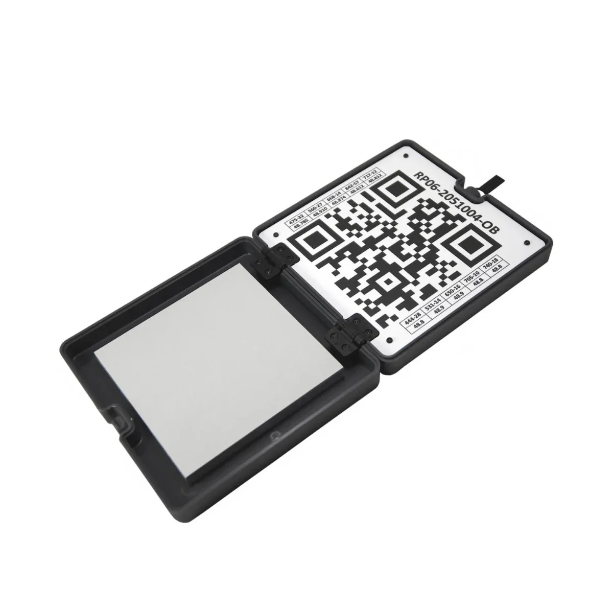
- Efficient storage: One-touch data copying from 256 GB TF card for fast workflows.
Precision performance for demanding enterprise surveying missions
The LiAir X3C-H represents a leap in operational efficiency, capable of surveying up to 100,000 m² per hour with a point density exceeding 10,000 pts/m². Its multi-return capability allows field operators to bypass dense vegetation to reach the ground surface, ensuring reliable topographic models.
The system’s high-precision fusion algorithms merge POS data with laser measurements to achieve centimeter-level results, providing the absolute coordinate accuracy required for professional civil engineering and asset integrity projects. This integration ensures that every flight delivers actionable, high-fidelity 3D intelligence for critical infrastructure.
Platform and software integration
- DJI Matrice 300/350 RTK: Optimized for seamless mounting and Skyport communication.
- Freefly systems: Compatible with Alta platforms for specialized flight requirements.
- LiGeoreference: Proprietary software for automated point cloud georeferencing and colorization.
- LIDAR360: Advanced post-processing suite for forestry, mining, and building analytics.
- LiPowerline: Specialized module for utility inspections and clearance analysis.
- Handheld kit: Includes ergonomic grip and battery box for ground-based scanning.
Operational use cases
- Power-line inspection: Identify vegetation encroachment and structural defects with high precision.
- Topographic surveying: Generate accurate digital elevation models in diverse terrain types.
- Forestry monitoring: Measure tree height and canopy density via triple-return penetration.
- Mining surveying: Capture volume calculations and stockpile measurements in open-pit mines.
- Building scanning: Map complex facades and indoor structures using SLAM technology.
- Asset integrity: Perform non-destructive inspections of critical industrial infrastructure.
Optimized for operational readiness
Designed to fit into modern enterprise workflows, the LiAir X3C-H features an "all-in-one" design that minimizes setup time and eliminates the need for complex external wiring. The system is built to survive the rigors of the field, operating in temperatures ranging from -20°C to 50°C (-4°F to 122°F). Its ability to switch between drone-mounted and handheld modes ensures that no area—whether it's a dense forest floor or a deep mine shaft—is left unmapped. This interoperability allows teams to maintain a single hardware standard across multiple deployment scenarios.
The GreenValley LiAir X3C-H is a definitive tool for professionals requiring high-density 3D data across varied environments. By unifying aerial LiDAR with handheld SLAM capabilities, it solves the challenge of maintaining coordinate accuracy in complex or GNSS-denied areas. Its lightweight, integrated construction delivers long-term operational value and consistent centimeter-level results for critical surveying missions.
DSLRPros provides more than just hardware; we offer the technical expertise and lifecycle support required to keep your mapping operations at peak performance. Our team of drone specialists ensures your equipment is correctly configured and mission-ready from day one. Secure your operational advantage by purchasing the GreenValley LiAir X3C-H from DSLRPros today.